Milne Glacier
Deception PointMilne Glacier is both the approach to NASA’s Arctic installation and a material part of the evidence behind the claimed discovery beneath the ice. The journey across its wind-scoured surface gives Rachel Sexton her first view of the isolated base; later, measurements taken over the glacier become the starting point for a dispute about what the instruments can actually establish. The landscape is not merely a remote backdrop: its layers of ice determine what can be seen, what remains uncertain, and how a satellite anomaly must be tested on the ground.
Setting and Approach
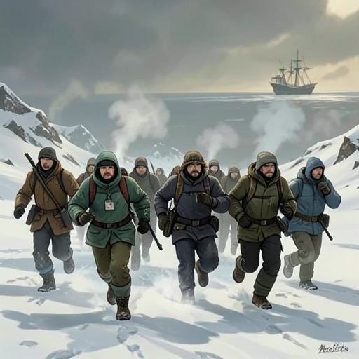
From a snow berm, Rachel looks across an expanse of ice that narrows and winds upward into the mountains. The driver identifies the highland flow as Milne Glacier and explains that it descends into the broad delta where they are traveling. Their vehicle drops down one steep face, crosses another ice river, climbs a second berm, and then runs out onto the glacier’s smoother surface. The route gives Rachel a view of the ice as a connected terrain of ridges, channels, and open stretches rather than a single level sheet.
The journey also makes the glacier’s weather a physical obstacle. A permanent offshore gale, the katabatic wind, drives downhill from the glacier as heavy, cold air. The wind and the moonlit expanse set the conditions for Rachel’s arrival: several minutes into the crossing, she begins to make out a huge white dome emerging from the ice. The NASA base is reached by traversing this exposed landscape, not by entering a settled or familiar environment.
The Hidden Anomaly
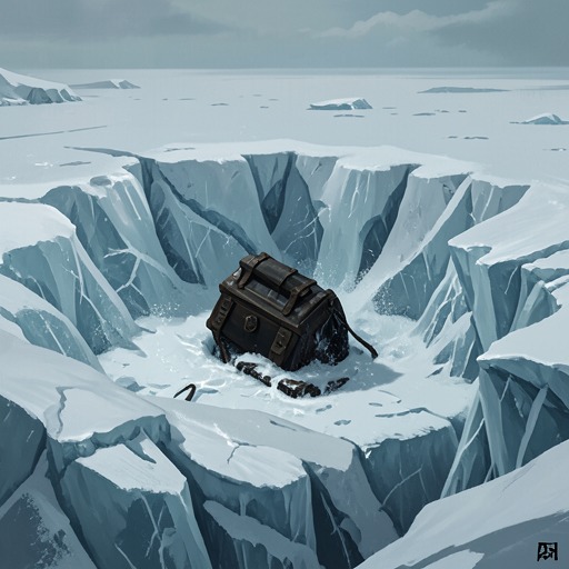
The glacier’s ice becomes central to NASA’s account of the discovery when its satellite system, PODS, detects an unexpected density anomaly. Two weeks before Rachel’s briefing, the satellite passes over the ice shelf and registers a roughly ten-foot-wide, shapeless object embedded about two hundred feet beneath the surface. It appears harder than the surrounding ice, not like a liquid pocket. This orbital reading prompts investigation, but it is still an instrument’s measurement of density—not, by itself, a complete account of what lies underground.
The distinction matters because PODS observes the glacier from far above. Rachel points out that its measurements are taken from 120 miles in space and that the system was designed to separate broad categories such as ice from slush or granite from limestone. A small density difference between brine ice and freshwater ice could therefore fall beyond its resolving power. The apparent anomaly, even if accurately recorded, cannot be interpreted without accounting for the different kinds of ice that compose the glacier.
Ground-Level Testing
The expedition turns to ground-penetrating radar to examine the ice around the extraction pit. The compact instrument, mounted on an aluminum frame and connected to a marine battery, sends electromagnetic pulses into the glacier. Freshwater ice freezes into a flat, shingled crystal pattern; seawater ice forms a more meshed or forked structure because of its sodium content. The returning pulses behave differently across those structures, with sea ice producing fewer, more erratic reflections.
Norah Mangor uses the radar to produce a cross-sectional image of the surrounding ice. Its software is intended to render the glacier’s structure and print a profile in which sea ice registers as a shadow. This ground-level method gives the team a way to investigate a material distinction that the satellite’s much broader density scan may not resolve. The glacier thus becomes a testing ground where remote observation can be checked against a more localized reading of its internal structure.
Landscape, Instrument, and Interpretation
Milne Glacier links the physical journey to the novel’s larger problem of evidence. Rachel’s approach across ridges and ice rivers brings her to the NASA base, while measurements of the ice draw her into questions about the reliability and limits of the discovery. PODS can search immense areas and flag unexpected densities, but its resolution does not automatically distinguish every substance that may produce an anomaly. Ground-penetrating radar, by contrast, examines a smaller area through the differing responses of freshwater and sea ice.
That contrast makes the glacier more than a setting for scientific activity. Its buried layers are the objects of competing forms of observation, and the interpretation of those layers depends on the scale and method of each instrument. What appears from space as an unusual, hard mass must be reconsidered in light of the ice around it. The glacier therefore anchors both the expedition’s remote isolation and the evidentiary question at the heart of NASA’s claim: whether a striking signal is enough to prove what the observers believe they have found.